The "AnaEE-SAT" project was set up by the infrastructure in 2022-2023 to integrate spatial remote sensing data into AnaEE france's terrestrial experimentation systems, under the direction of André Chanzy and executed by Hortense Chedeville. This project was funded by the AllEnvi national infrastructure incentive program in conjunction with the French Ministry of Research (MESRI), and by the "Investissements d'avenir" program launched by the French government and implemented by the ANR under the reference "ANR-11-INBS-0001 AnaEE France".
The AnaEE-SAT project focuses on remote sensing data, which is the remote acquisition of information about the earth's surface from emitted (solar radiation) or reflected (sensor emitting radiation) radiation. There are a variety of remote sensing methods, depending on the electromagnetic radiation targeted (infrared, visible light, ultraviolet, microwave, radio waves), the source (solar radiation or radiation emitted by the sensor), the acquisition platform (aircraft, satellite, drone) and the sensor.
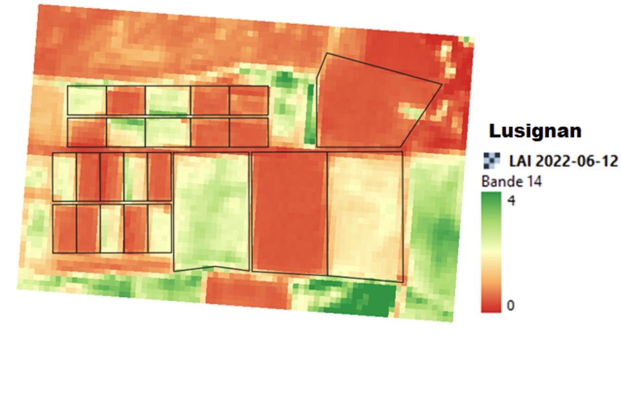
The project used data from the Sentinel-2 satellite constellation, which consists of two satellites launched between 2015 and 2017 by the Copernicus program. It offers data in the visible, near-infrared, mid-infrared and red-edge spectral bands at a spatial resolution of between 10 and 20 meters. It has a revisit time of the order of 3 to 5 days.
As part of this project, a processing chain was created using the R language to download Sentinel-2 data onto the Théia platform. It calculates a battery of spectral indices from spectral bands, and estimates biophysical variables (LAI, fAPAR and FCOVER1) from green, red and near-infrared spectral bands, solar angles and satellite sensors. The output of the processing chain is a raster stack by spatial resolution (10 and 20m) around the shapefile, and a data table containing statistics (average, minimum and maximum) by plot. This table contains all the dates processed, enabling us to reconstruct a time series for each plot.
The interest of this project is to be able to visualize temporal and spatial dynamics on AnaEE France platforms, over periods ranging from 2016 to 2023. The platforms that have contributed to this project to date are Estrées-Mons, Lusignan, Laqueuille, Theix, Puéchabon, OPTMix, QualiAgro, Montiers, Clermont-en-Argonne, Paracou and Le Lautaret. Subsequently, the processing chain developed as part of the project will be maintained and improved by the AnaEE France teams and the EMMAH unit (INRAE) to enable other volunteer AnaEE France platforms to benefit from the project's results for their in natura sites.
In the future, this project could help validate remote sensing products, in particular the LAI product, with in-situ measurements carried out on certain AnaEE-France in natura platforms.
- LAI: Leaf area index
fAPAR: Fraction of absorbed photosynthetically active radiation
FCOVER: Fraction of plant cover ↩︎
In the same category
IRISCC Annual Meeting 2025
The IRISCC annual meeting will take place at Palais du Pharo in Marseille, France, from 8 to 10 October...
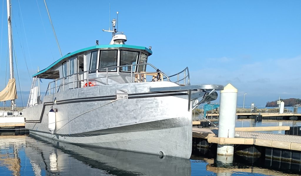
A low-carbon research boat for the Observatory on LAkes
The Observatory on LAkes (OLA) is located in Thonon-les-Bains and is part of UMR CARRTEL, an INRAE - USMB...

AnaEE and Europe: Opportunities worth seizing
Several AnaEE France facilities are involved in European projects. These projects provide scientific and funding opportunities through one-off and/or...
ANAEE summer school 2024: It’s a wrap
The Lautaret Garden once again hosted the ANAEE-France summer school, many thanks to them! During the week, the 20...

New research on the long-term fertilisation experiment at Les Nouragues and Paracou in French Guiana
The main objective of the fertilisation treatments carried out in the forests of Les Nouragues and Paracou since 2017...

“Oxygen fractionation associated with biological processes : application to reconstruction of past biosphere productivity.” Clémence Paul PhD thesis (LSCE / Montpellier Ecotron)
Clémence Paul defended her PhD thesis on January 18, 2024 at LSCE (Université Paris Saclay), entitled "Fractionation of oxygen...